Archive by Tag Features
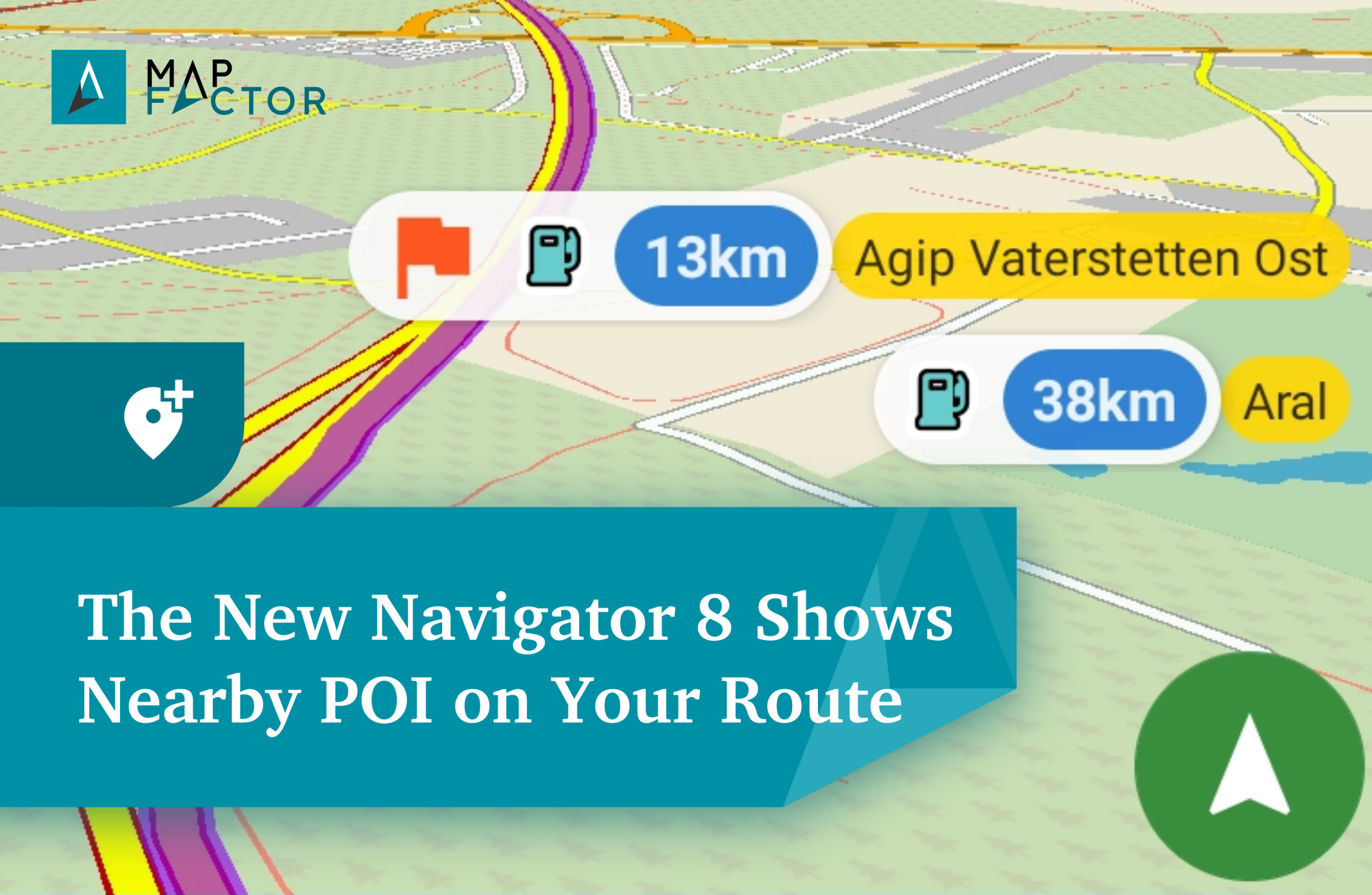
Plan POI Stops Along Your Route – Now Easier with Navigator 8
MapFactor Navigator 8 is now available! The new version brings exciting improvements, including the ability to display nearby Points of Interest (POIs) along your route, new map colour schemes inspired by OpenStreetMap, and many under-the-hood enhancements. Perfect for making your journeys easier and more enjoyable. Read More...
Explore More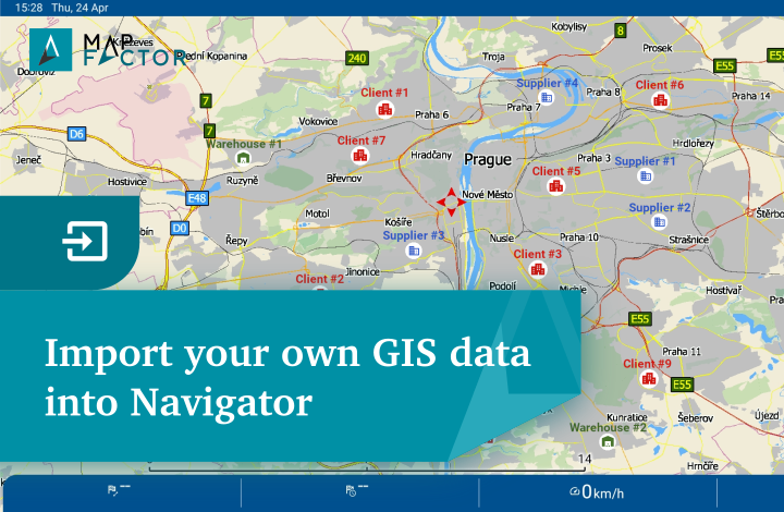
MapFactor Navigator Supports Import of Custom Geographical Data for Mapping and Navigation
Import your own GIS data into MapFactor Navigator. Customise your maps, plan routes, and navigate with full control over your spatial data.
Explore More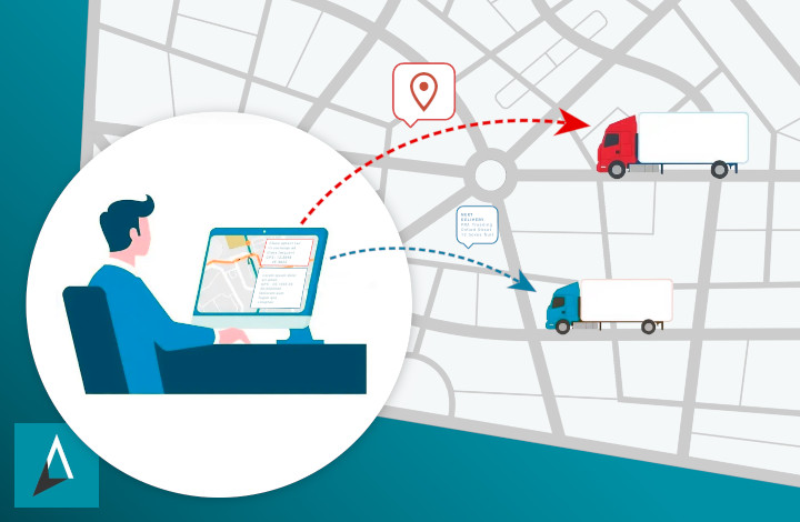
MapFactor Offers Navigation Integration into Telematic Systems for Optimal Route Management
MapFactor introduces navigation integration into telematics systems and remote route management. Dispatchers can manage fleets, send destinations to drivers, and track their location in real time – and that’s just the beginning. Read on to discover more remote command features.
Explore More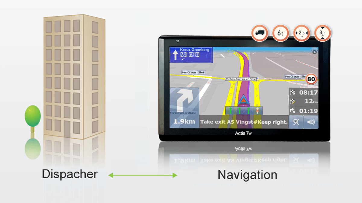
MapFactor Navigator – Efficient Fleet management with Remote Command Communication
Mapfactor Navigator is one of the few applications that allows integration into other dispatching and telematics software for remote communication with the vehicle. It provides flexible communication between the driver and control centre.
Explore More